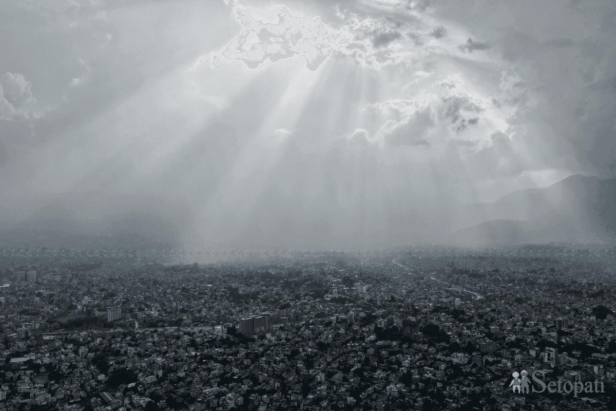
With Ghatasthapana only days away, the weather across Nepal has yet to settle. Since Sunday, mornings have started clear, clouds have gathered by midday, rain has fallen hard and suddenly, and the sky has cleared again soon after. Meteorologist Rojan Lamichhane of the Hydrology and Meteorology Forecasting Division says some regions still feel the monsoon flow while a western disturbance is active at the same time. That combination explains the heavier rain in western Bagmati, Gandaki, Lumbini, Karnali and Sudurpashchim. A trough in the upper atmosphere, a low-pressure zone, is also lifting moist air and speeding up cloud formation. Rainfall records show how uneven this has been. Simalpani in Arghakhanchi received 85 mm in three hours but only 1.2 mm in a single hour at the same spot, Jangar in Rolpa logged 60.6 mm, and Aurahi Khola in Bardiya logged 66.4 mm. Parts of the Kathmandu Valley, including Changunarayan, Sundarijal, Budhanilkantha and Kapan, saw roughly 20 to 30 mm. Dr. Binod Pokharel, an associate professor at Tribhuvan University's Central Department of Hydrology and Meteorology, says an unstable upper atmosphere builds large clouds that can bring intense rain, gusty winds and, in places, hail. Forecasts point to heavy rain in the hills of Bagmati and Gandaki on Thursday afternoon, and in the hills of Koshi, Bagmati, Gandaki and Sudurpashchim plus parts of Koshi's Terai on Friday. As the system drifts east and weakens, conditions should gradually improve from Sunday. Travellers heading home and families out shopping should stay alert until then.
Unsettled weather ahead of Dashain: showers likely until Saturday, improvement expected from Sunday
Western disturbances and lingering monsoon winds are producing short, heavy bursts of rain followed by sunshine.
Pratik Devkota2 hr agolumbini
Comments and discussion
Share your thoughts on this story.
Readers' comments
There are no approved comments yet.
Be the first to comment.